The Antique Cartographer
Map of the State of California - 1860
Map of the State of California - 1860
Couldn't load pickup availability
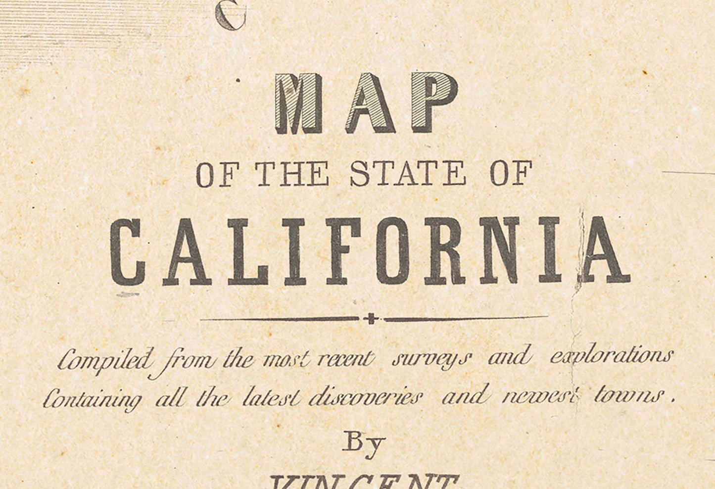
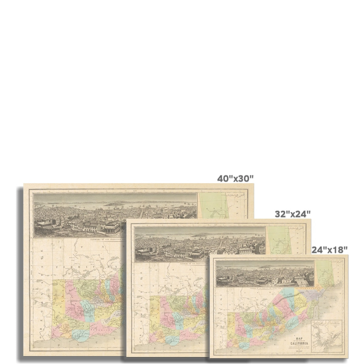
This hand colored map of California, situated with north on the left provides a unique perspective on the geography of the state just 10 years after its statehood. Two insets in the map show a panoramic view of San Francisco and Contra Costa as well as a detailed view of the the San Francisco Bay.
Materials
Materials
A premium quality heavyweight fine art print material with a smooth, clean finish. This museum-quality paper is extremely consistent and works perfectly with large, full colour graphics or illustrations.
Sustainability
Sustainability
All maps are printed on sustainably sourced paper with water-based inks and shiped in eco-friendly packaging to provide as minimal inpact on our environment as possible.


-
Shipping
Shipping PolicyAll order are packaged in durable eco-friendly tubes to protect your art and shipped with tracking within 1-2 days of order. Rush delivery available.
-
Our Print Perfect Guarantee
Return PolicyIf for any reason, you are not satisfied withy your order, we'll glady return or exchange within 14-days of delivery.

Visit our Custom Shop
From custom framing, to a variety of print material, we can accomodate nearly any custom request to make your map the perfect wall-ready art for your space.


