


The Antique Cartographer
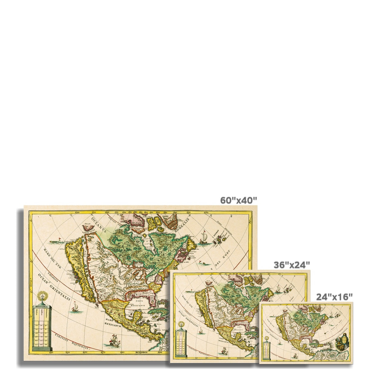
America Borealis - 1699
America Borealis - 1699
Couldn't load pickup availability
This 1699 map by cartographer Heinrich Scherer depicts the early territories of the North American continent. The bright colors and vivid detail in this early American map show a reality when California was thought to be an island, separated from mainland N. America by Vermilion Sea - now known as the Gulf of California - which separates the Baja Peninsula from mainland Mexico.
Materials
Materials
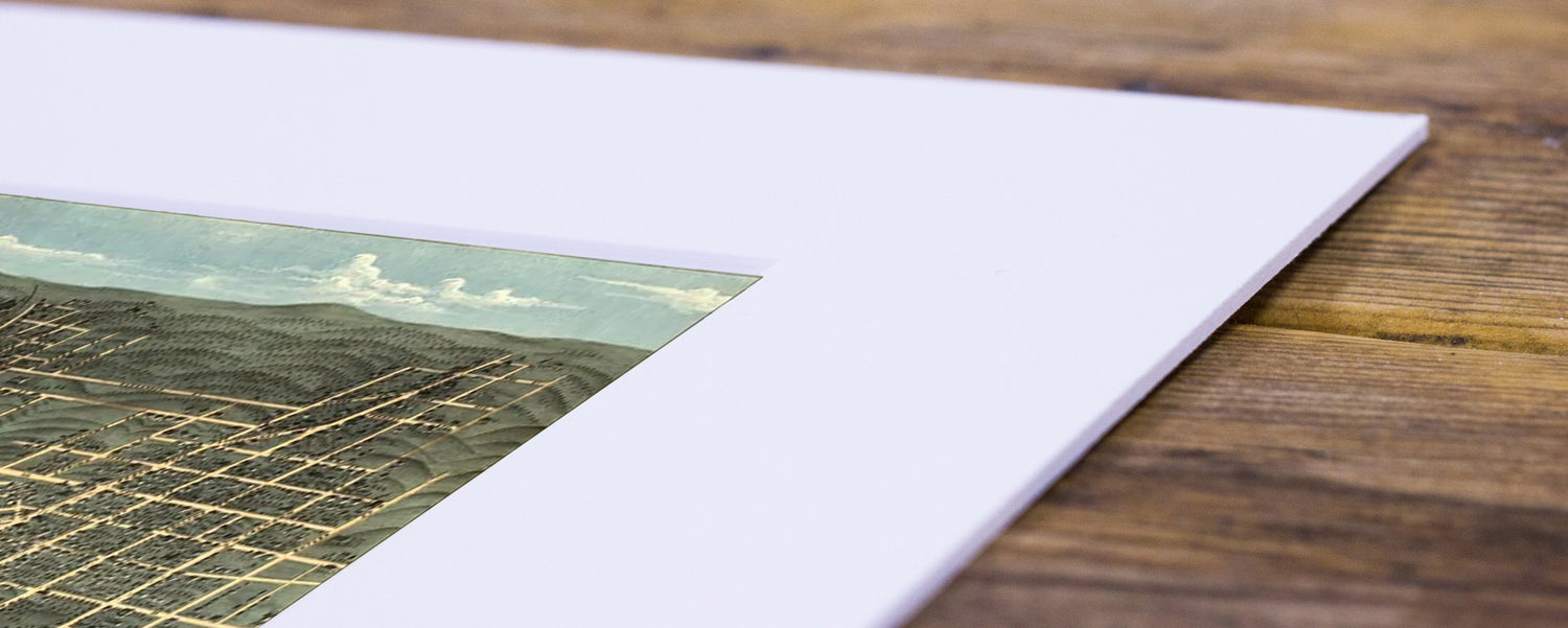
A premium quality heavyweight fine art print material with a smooth, clean finish. This museum-quality paper is extremely consistent and works perfectly with large, full colour graphics or illustrations.
Sustainability
Sustainability
All maps are printed on sustainably sourced paper with water-based inks and shiped in eco-friendly packaging to provide as minimal inpact on our environment as possible.


-
Shipping
Shipping PolicyAll order are packaged in durable eco-friendly tubes to protect your art and shipped with tracking within 1-2 days of order. Rush delivery available.
-
Our Print Perfect Guarantee
Return PolicyIf for any reason, you are not satisfied withy your order, we'll glady return or exchange within 14-days of delivery.
Visit our Custom Shop
From custom framing, to a variety of print material, we can accomodate nearly any custom request to make your map the perfect wall-ready art for your space.